

Start at the Main Carpark on Hemo Road, Whakarewarewa, for 4.5 guided hours of 4WD and a walk to the summit ridge, open to ages 7 and over.

Six guided ways onto Mt Tarawera, compared: crater walks by 4WD, helicopter landings, and one flyover that stays airborne. Every mount tarawera hike listed here goes with a guide or a pilot.
See The Tours
Start at the Main Carpark on Hemo Road, Whakarewarewa, for 4.5 guided hours of 4WD and a walk to the summit ridge, open to ages 7 and over.
The six cards above sit in review-count order. The Kaitiaki Adventures half day leads with 4.9 across 359 reviews, followed by the Volcanic Air 40-minute helicopter at 4.9 across 43 reviews. Numbers this lopsided say something about volume, not superiority: the half day is a longer-established, lower-cost way up the mountain, so more people have written about it. A high score on a smaller base is still a high score.
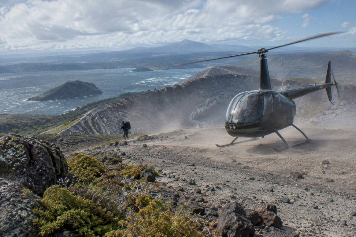
Three tours show a rating here: the Kaitiaki Adventures half day, 4.9 from 359 reviews; the Volcanic Air 40-minute helicopter landing, 4.9 from 43 reviews; and the Tarawera Scenic Floatplane Flyover, 4.8 from 48 reviews, a flyover with no landing, because that distinction changes what you are buying. The other three, the Kaituna rafting and summit walk combo, the 1-hour helicopter landing flight and the dual landing at Orakei Korako, show no rating on this page; their booking pages carry traveller feedback. The Kaitiaki tour meets at the Main Carpark on Hemo Road in Whakarewarewa and gives you about 90 minutes of walking on the crater, while the Volcanic Air landing flights leave from the Lakefront Drive helipad and include a 15 minute guided summit walk after landing.
Order also breaks across modes. Walking up with Kaitiaki Adventures and flying up with Volcanic Air are different kinds of day: four and a half hours on foot and by 4WD versus about 40 minutes by helicopter with a 15-minute guided summit walk. They are partners here, not rivals, and the ranking above should not be read as one beating the other.
Treat the order as a starting point, then use the duration, meeting point, age and weight details on each card to shortlist. The comparison table further down the page puts all six side by side.

From NZ$675, lift off from the Lakefront Drive helipad and spend about 20 minutes on the mountain, 15 of them on a guided walk, with a 135 kg weight cap.

Roughly 9 hours of rafting plus the Tarawera summit walk, picked up from central Rotorua, and restricted to ages 13 and over.

Departing Lakefront Drive, this hour-long flight gives you more flight time than the shorter option and accepts passengers up to 110 kg.

From NZ$1,490, a 3-hour trip from Lakefront Drive with two landings, Tarawera and Orakei Korako, and a 130 kg weight cap.

From NZ$395, a 30-minute Tarawera flyover from Lakefront Drive with no landing on the mountain, taking passengers up to 135 kg.
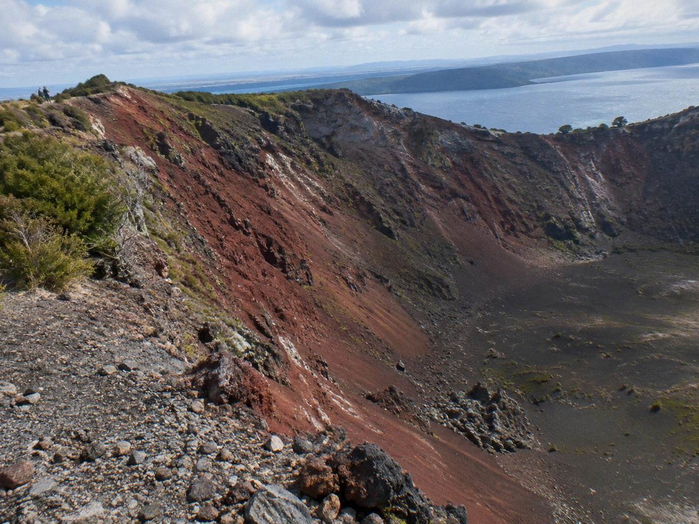
The half day begins at the Main Carpark on Hemo Road, Whakarewarewa, the meeting point Kaitiaki Adventures gives in its own FAQ.
From there the group travels together toward the mountain. The operator's FAQ describes the journey in two parts, a road leg and an off-road leg, and the day is built around that split. Departure times, pick-up arrangements and cancellation terms are set on the booking page for your chosen date; the listing carries whatever applies on the day you book. The FAQ does carry practical warnings worth reading before you arrive, including a motion-sickness note: tell the guide if the off-road section will be a problem for you.
The drive from Rotorua to the base of the Mt Tarawera 4WD track takes about 30 minutes, after which the surface changes.
This is not a shuttle on sealed road; the FAQ's motion-sickness warning exists because of this stretch. The off-road leg ends where the walking starts, and the operator is explicit that the road simply finishes there: the rest of the way up is on foot.
Before the hīkoī begins, the route stops at a base camp with a composting toilet.
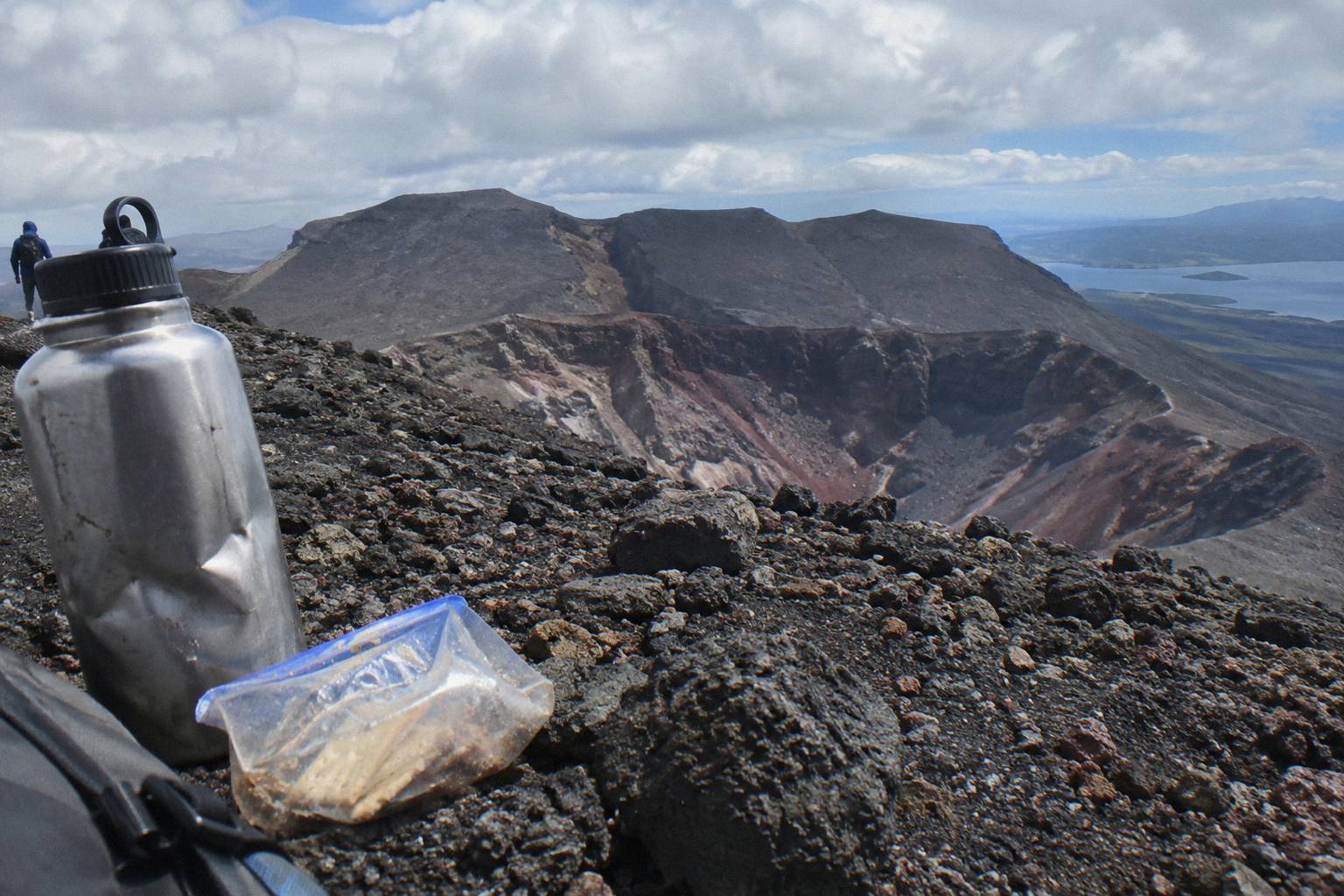
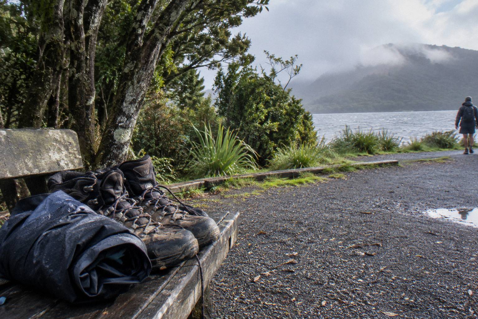
It is also where walking sticks are handed out. Take the stop seriously: it is the last chance for facilities, and the FAQ lists what to bring rather than what is provided. Sturdy walking shoes, with sturdy trainers acceptable, comfortable clothing for the weather, a bottle of water and your own snacks, because none are provided. The sticks are offered for a reason. The ground above is volcanic scoria, which the operator says can be slippery, and the summit track asks for medium to moderate fitness.
The walk begins where the road ends, and benches are spaced along the way.
At the second bench the guide shows the summit trail. This is the decision point the FAQ builds toward: the summit track calls for medium to moderate fitness, and guests may take lighter walking options instead of pushing for the top. That flexibility matters for families with children from age 7 up, the minimum the operator states, and for anyone unsure about the sections ahead. The guide, not the terrain, sets the pace, and the FAQ frames the lighter routes as ordinary choices rather than fallbacks.
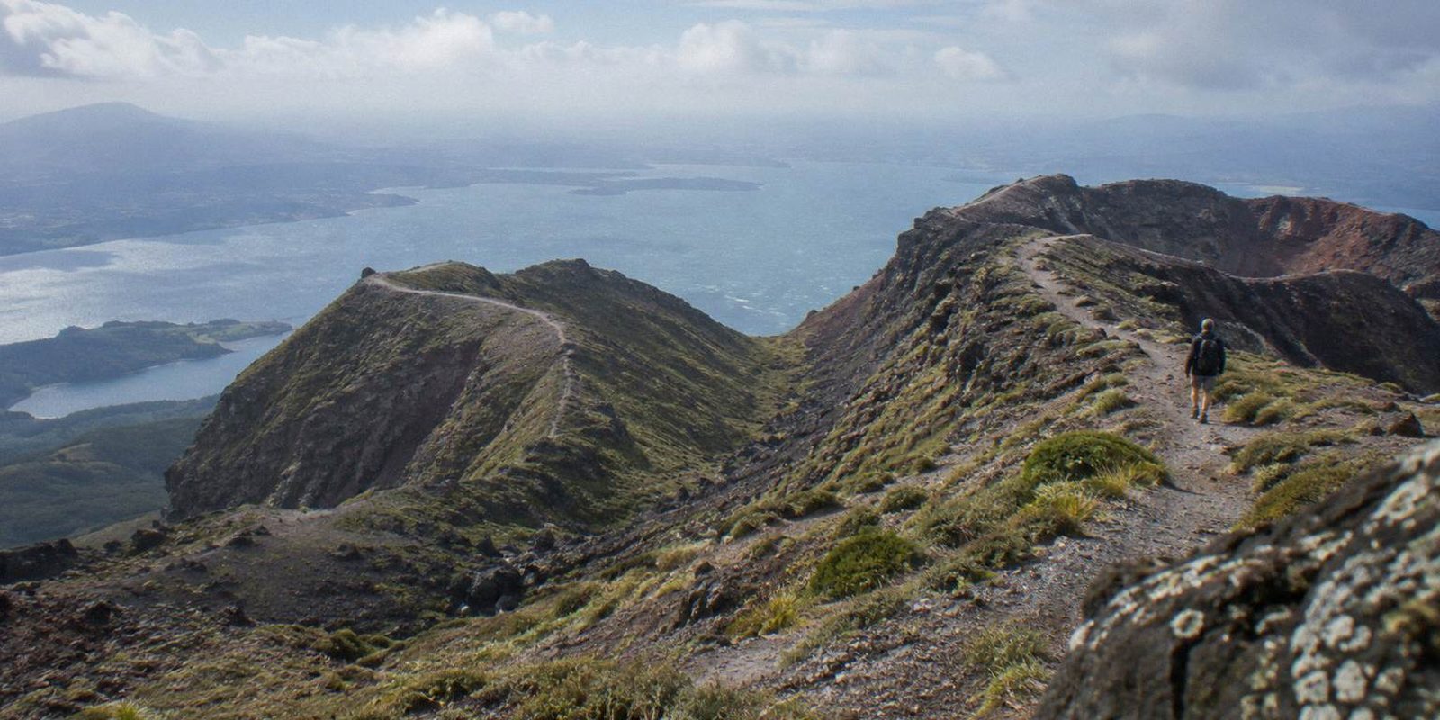
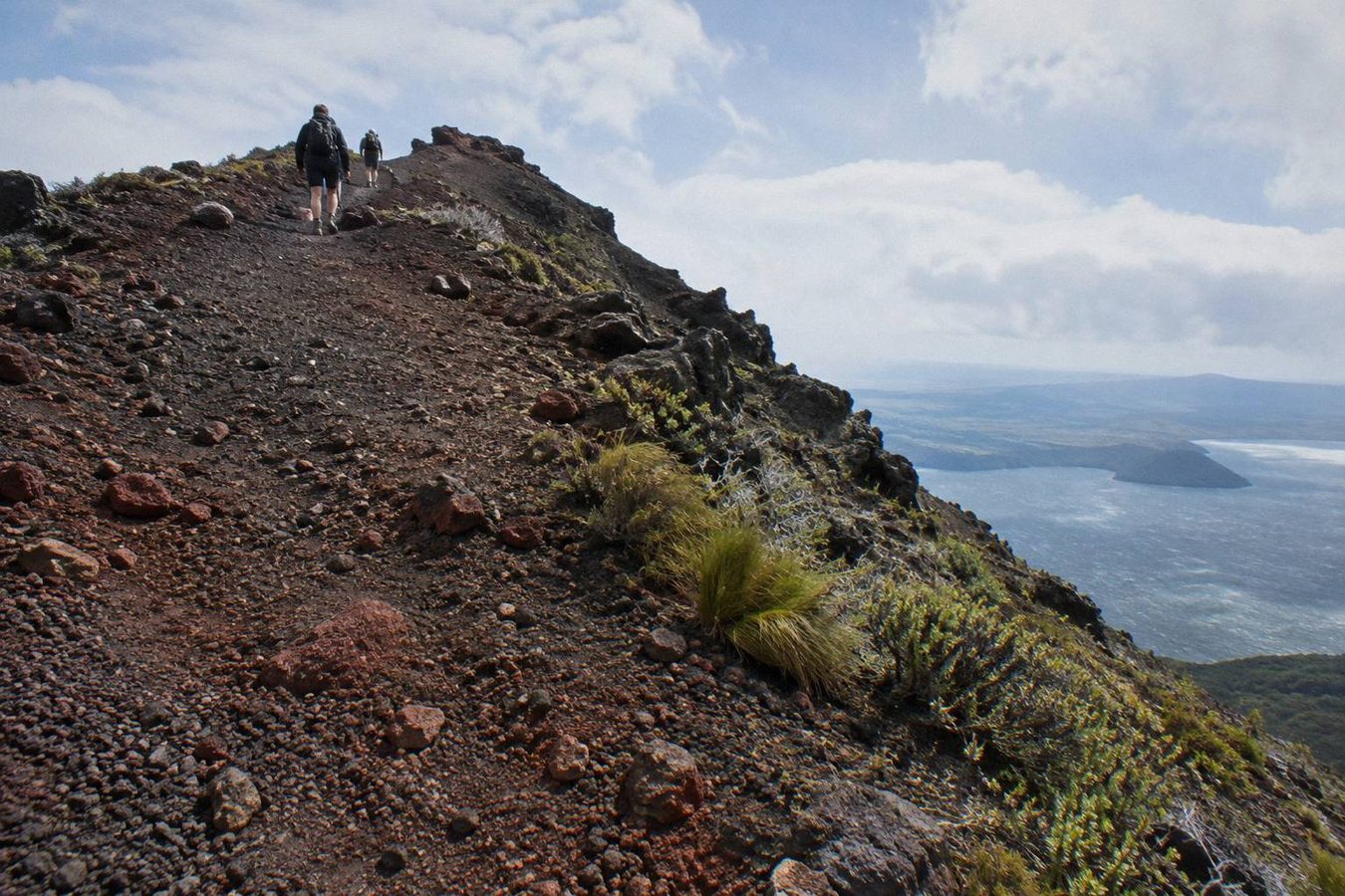
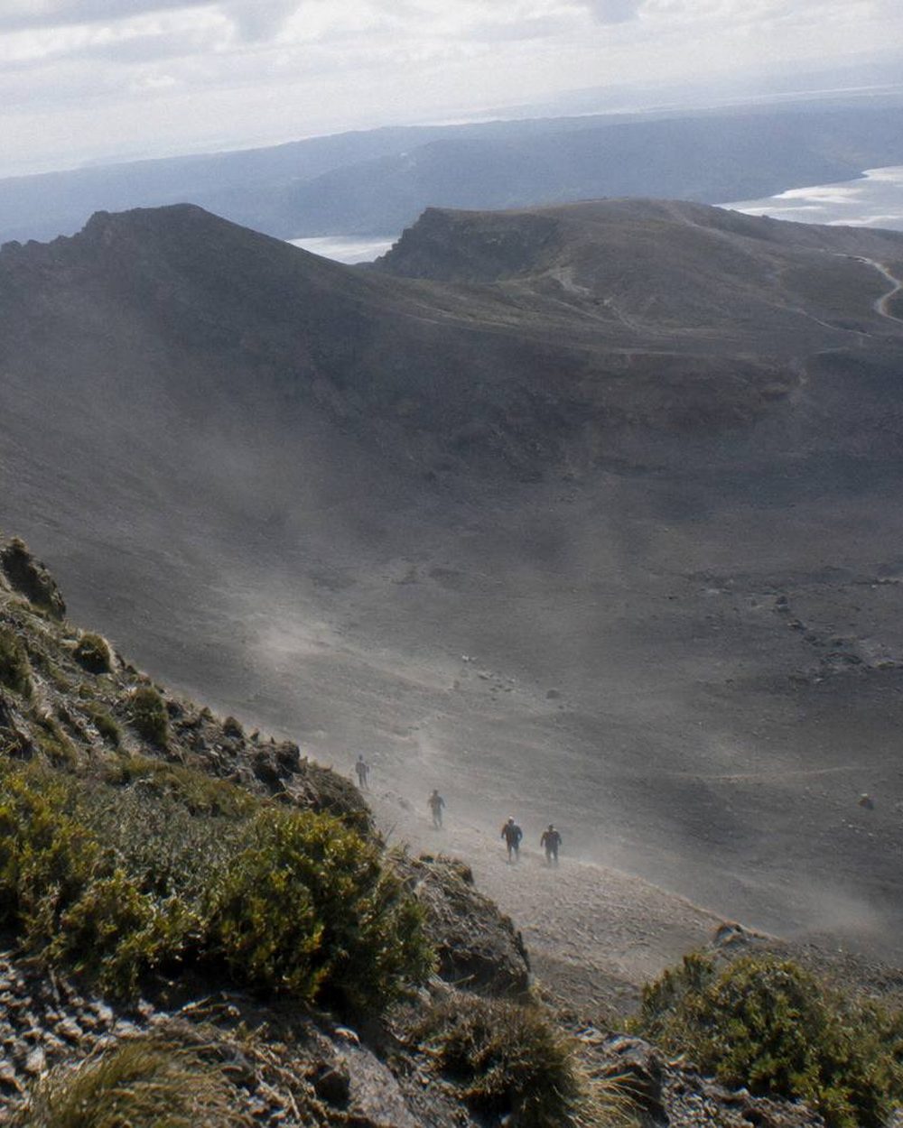
The summit of Mt Tarawera stands at 1,111 m, and the final approach crosses volcanic scree.
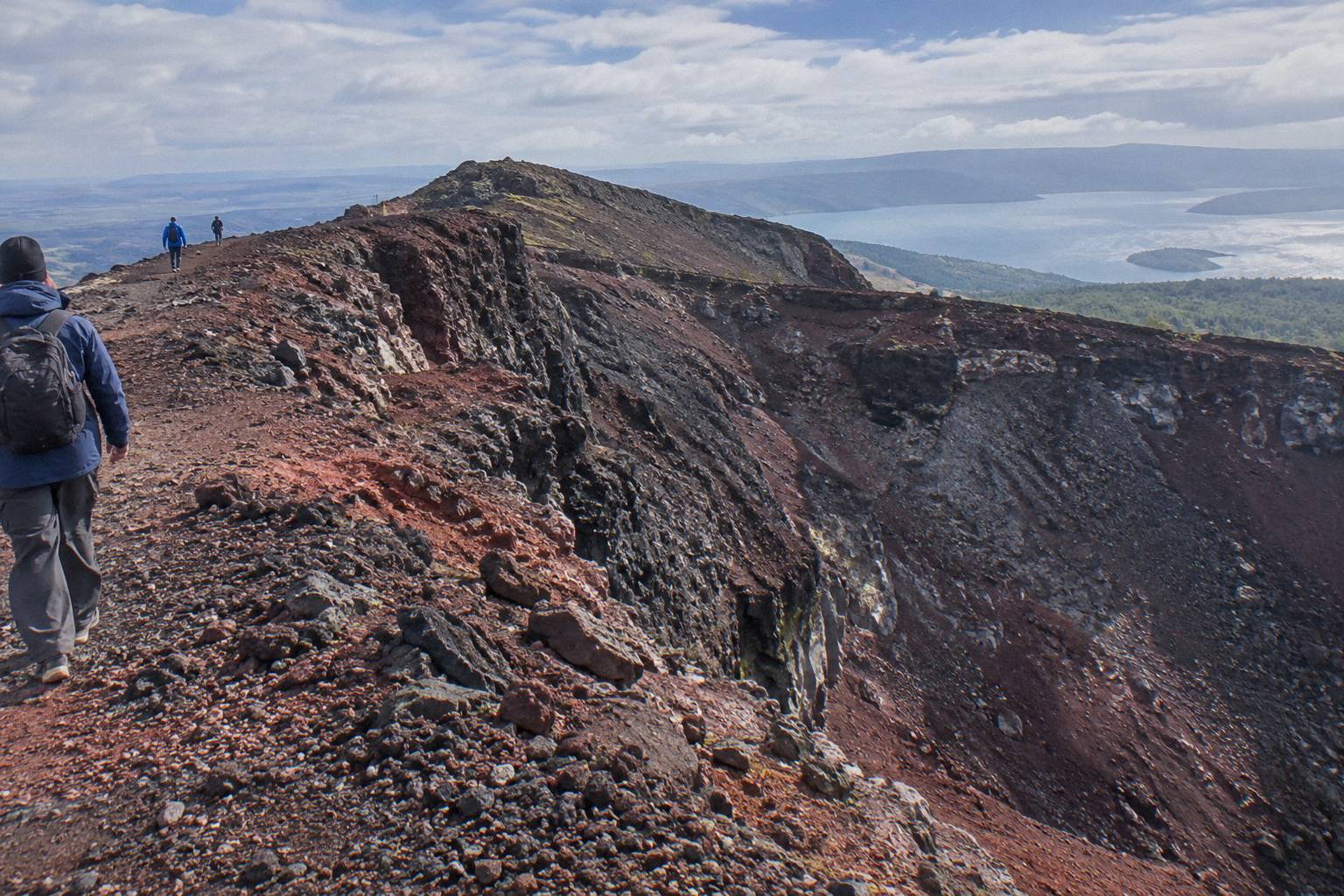
The operator's own FAQ wording describes the scree as a 45 degree slope approximately 400 m deep. Scoria underfoot can be slippery. Two sections of about 50 m each need four points of contact, meaning hands as well as feet, which is why the walking sticks from base camp and sturdy shoes both earn their place. These figures are Kaitiaki's FAQ description, not an independent survey, and we can offer no crater dimensions, ascent totals or walking distances beyond them.
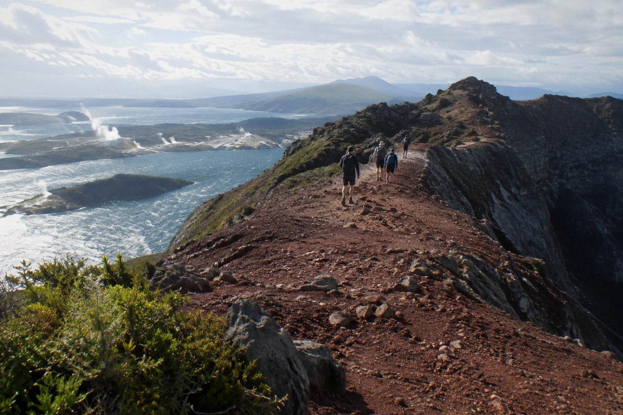
The half day reaches the summit of Ruawahia, the highest of the mountain's three domes.
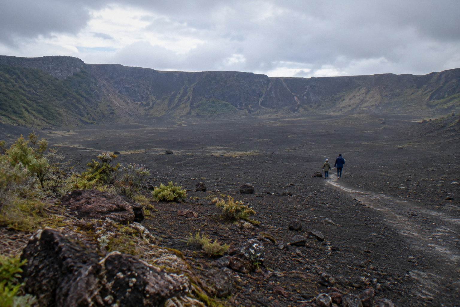
Kaitiaki describes 360 degree views from the top. There is also an optional run down into the crater, the moment many walkers remember, before the return leg retraces the ground and the 4WD carries the group back down the track. What the FAQ does not state is a fixed schedule for any of this. The half day runs about four and a half hours in total per the operator's tour page, and the return is simply the reverse of the way up.
Mt Tarawera is on private land, and the Ruawahia 2B Trust governs the mountain.
That single fact explains why every trip we cover goes up with a guide or a pilot. The Trust reinvests most tourism concession revenue in conservation, with wilding pine removal named as the first project. Ngāti Rangitihi hold kaitiakitanga, guardianship, of the maunga, and the conservation projects give work and training to Ngāti Rangitihi rangatahi. Access is a managed arrangement, not a closed door with one key: it is a working relationship between landowners and operators.
Kaitiaki Adventures states it plainly on its conservation page: "Kaitiaki Adventures and our partner Volcanic Air are proud concessionaires, working alongside Ngāti Rangitihi."
That quoted line carries more weight than any paraphrase on this page. Both companies describe themselves as concessionaires, and both pay for that standing in a way that funds the conservation work the Trust prioritises. When you book the half-day walk or a helicopter landing, part of what you pay flows into that structure. We run no tours of our own and hold no concession; we list bookable ways up and point to the operators' own pages for the current terms.
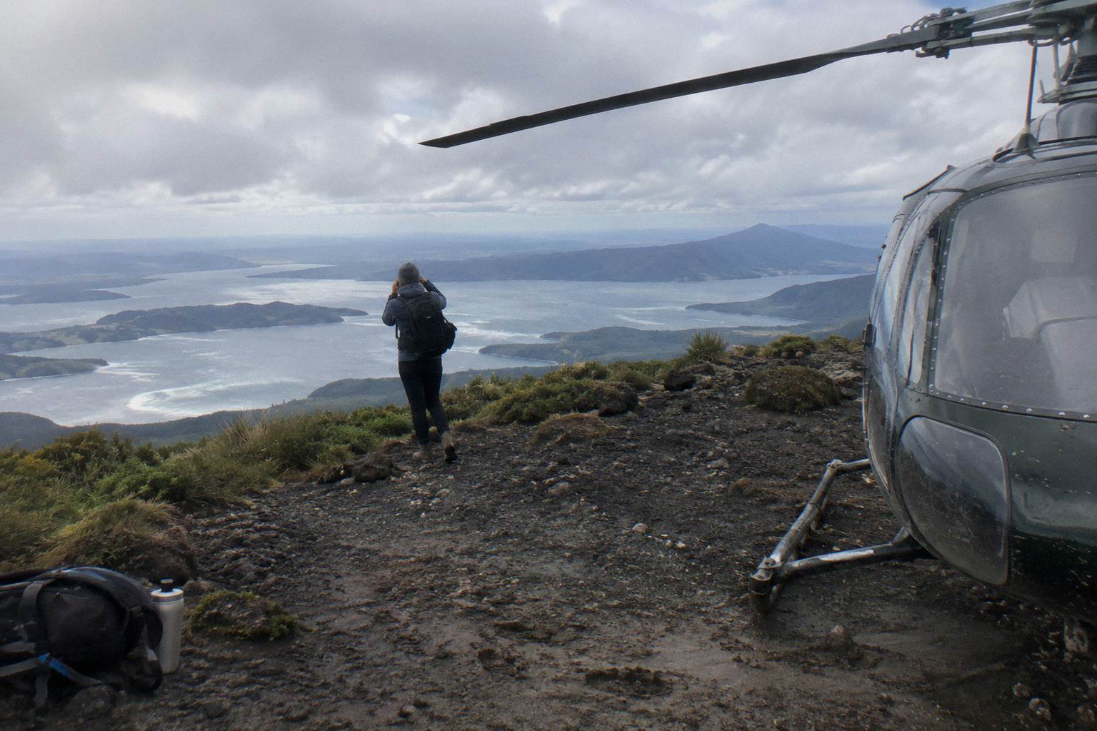
On foot with a guide, or by air with a pilot: the mountain's ownership arrangement produces exactly those two models.
The table above shows six bookable options, but they all resolve into those two access paths. Walking goes through Kaitiaki Adventures, which meets at the Hemo Road carpark and drives its 4WD track before the guided hīkoī to the summit. Flying goes through Volcanic Air, which lifts off from Lakefront Drive. The other rows are variations: a rafting combo built around the guided walk, a 1-hour flight and a dual landing flight that both touch the summit, and a floatplane flyover that never lands at all. The time on the mountain is the real contrast, with the Kaitiaki crater walk giving you about 90 minutes up top against roughly 15 to 20 minutes on a landing.
The guided walk starts at the Main Carpark on Hemo Road and reaches the summit of Ruawahia on scoria.
Four and a half hours, minimum age 7 as the operator states, with walking sticks handed out at base camp. The Kaituna combo uses the same guided summit walk but strings it together with rafting: two separately timed activities over about nine hours, minimum age 13, meeting at a central Rotorua pickup.
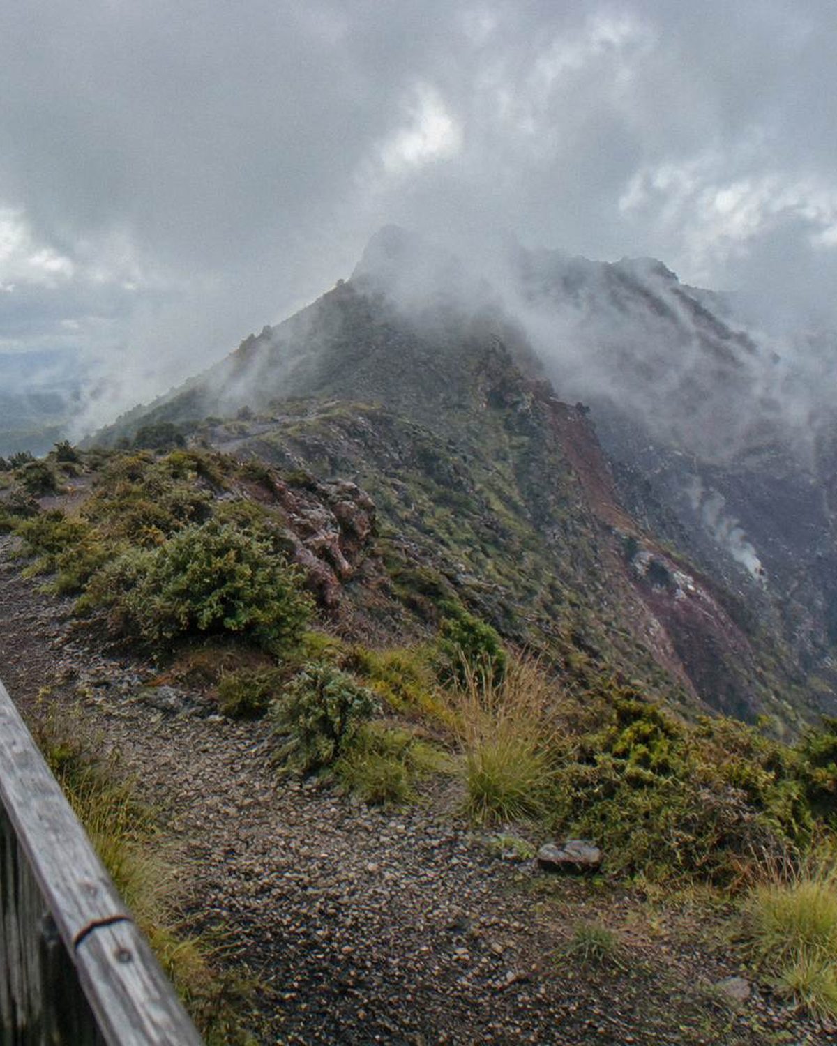
The helicopter flights depart the Lakefront Drive helipad and fly over lakes Okareka, Okataina and Tarawera before any landing.
The 40-minute tour lands on the summit for a 15-minute guided walk, weather and conditions permitting. Volcanic Air's own wording deserves quoting: "Excursion landings are undertaken at your own risk and such landings are at your pilot's sole discretion." Tour duration, flight times and inclusions may also vary with weather, volcanic activity and passenger loadings. A landing is not guaranteed, whatever any other page may suggest. The one-hour flight and the three-hour dual landing at Orakei Korako follow the same discretion rule.
The floatplane option is a scenic flight over Mt Tarawera that does not land on the mountain.
Half an hour from Lakefront Drive, it suits travellers who want the crater from above without the walk or the landing risk. Separately, note that the Tarawera Trail, the DOC track from Te Wairoa car park to Hot Water Beach campsite, runs along the lake edge. It is a 15 km advanced tramping track in its own right, not a way up the mountain.
Here are the three most-reviewed trips to start from. Answer a question or two and this shortlist rebuilds around you.
The mountain's own cut-offs narrow the field before anything else. Kaitiaki's guided walks take children from age 7 and start at the Main Carpark on Hemo Road in Whakarewarewa, while the Kaituna rafting combo sets the bar at 13. The flights leave from Lakefront Drive instead, and each carries its own weight cap: 135 kg per passenger on the 40-minute helicopter, 110 kg on the one-hour helicopter, 130 kg on the dual landing and 135 kg on the floatplane. Time on the summit splits the two worlds too, from the short guided stint on a helicopter landing to the half-day walk on the crater paths.
Start with duration. The floatplane flyover runs 30 minutes and never lands. The Volcanic Air helicopter flight with a summit landing allows about 40 minutes. The one-hour helicopter option stretches the flight. The dual landing with Orakei Korako runs 3 hours, and the Kaitiaki half day, 4 hours 30 minutes, is the shortest guided walk. The Kaituna rafting and summit walk combo fills about 9 hours with two separately timed activities.
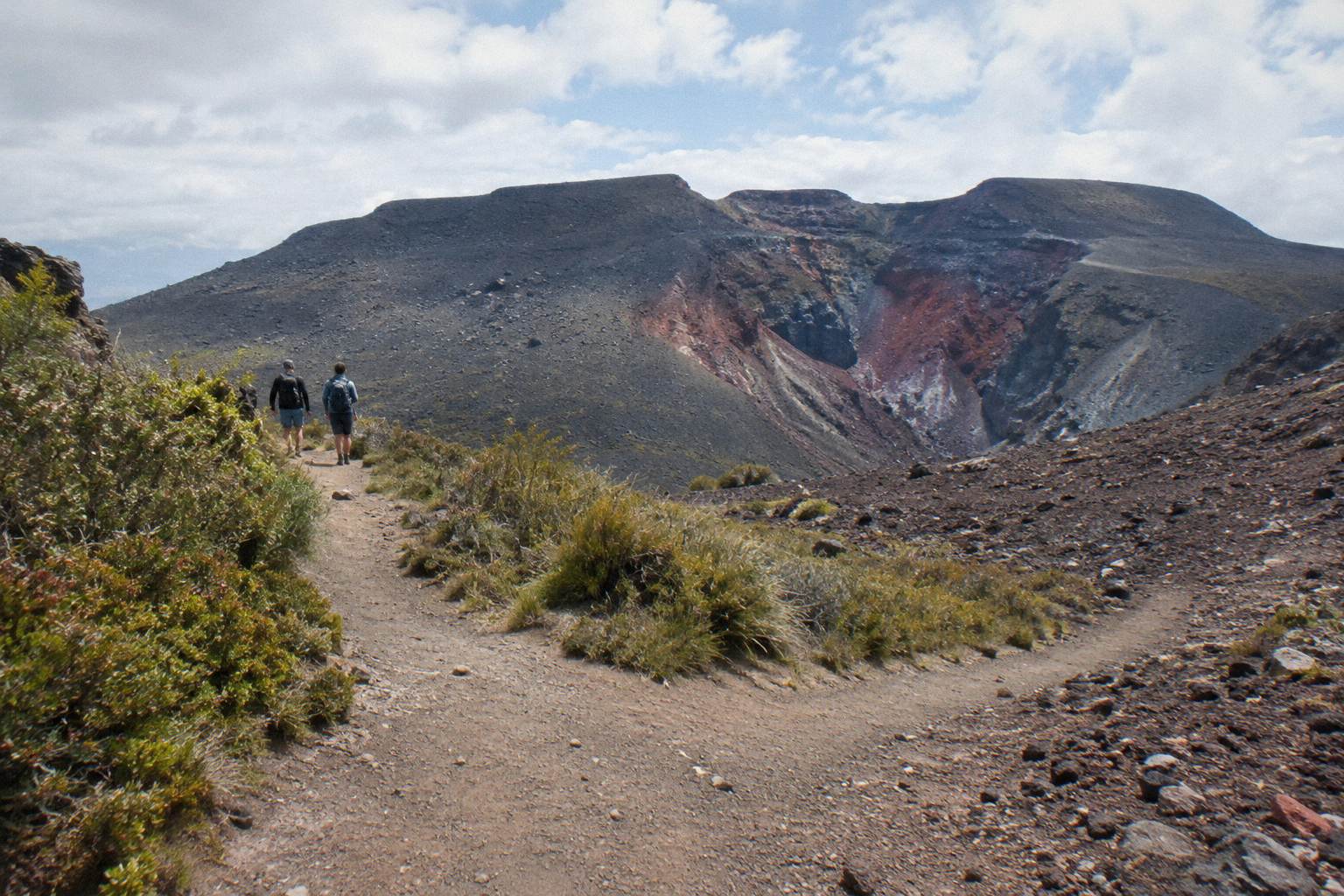
Second tap: on foot or by air. On foot means the Kaitiaki half day or the rafting combo, both with a minimum age of 13 for the combo and 7 for the walk, as the operators state them. By air means a Volcanic Air helicopter or floatplane from Lakefront Drive, where the walking is a short guided stint or none at all.
Third tap: who is in the party. A child under 7 cannot join the Kaitiaki walk, which starts at age 7. Volcanic Air states no minimum age for the flights; children under 2 fly free and those aged 2 to 11 pay 75% of the adult fare. Weight caps matter too. The 40-minute helicopter takes up to 135 kg per passenger, the one-hour flight up to 110 kg, the dual landing up to 130 kg and the floatplane up to 135 kg. Check the heaviest member of the group against the row before anything else.
That is the whole decision. Answer the three taps and the table below usually leaves one or two rows standing.
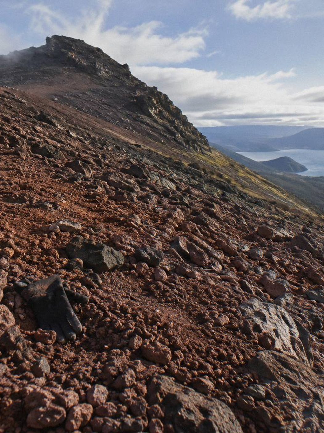
The cut-offs come first. Kaitiaki's walks take children from age 7 and meet at the Hemo Road carpark in Whakarewarewa; the Kaituna combo starts at 13. The flights leave from Lakefront Drive, capped at 135 kg per passenger on the 40-minute helicopter, 110 kg on the one-hour flight, 130 kg on the dual landing and 135 kg on the floatplane. Time on the summit follows the ticket: about 20 minutes on the landing per listing, with Volcanic Air describing 15 of those as the guided walk, against the 4 hours 30 minutes of Kaitiaki's crater walk.
Short on time: the floatplane flyover, 30 minutes from Lakefront Drive, from NZ$395 per person. It is a flyover, no landing, rated 4.8 across 48 reviews. The 40-minute helicopter flight does land, weather and volcanic activity permitting, from NZ$675 per person, 4.9 across 43 reviews. Both suit a morning slot between other Rotorua plans.
No appetite for a long walk: the same two flights, or the one-hour Volcanic Air helicopter, which adds flying time without adding walking demands. On the 40-minute flight the listing allows about 20 minutes on the mountain, and Volcanic Air describes the summit portion as a 15-minute guided walk. The dual landing, from NZ$1,490 per person over 3 hours, pairs the mountain with the Orakei Korako thermal area.
Watching the budget: three prices print on this page, the NZ$395 flyover, the NZ$675 40-minute helicopter and the NZ$1,490 dual landing, each from and per person. Every other row, the Kaitiaki half day, the rafting combo and the one-hour flight, shows its price on the listing, because a figure prints here only where two listing reads agree.
A child under 7 rules out the Kaitiaki walk, which starts at age 7, and the Kaituna combo, from 13. The flights carry no stated minimum age. Volcanic Air states children under 2 fly free and ages 2 to 11 pay 75% of the adult fare.
A party of two: the helicopter rows carry a minimum of 2 adult fares, so a solo traveller needs a flight with others booked on it.
Time on the mountain is the hidden variable behind every price row. The flights from Lakefront Drive buy about 20 minutes on the landing per listing, of which Volcanic Air describes 15 as the guided summit walk. Kaitiaki's crater walk, starting from the Hemo Road carpark in Whakarewarewa, spends 4 hours 30 minutes end to end on the half day, Kaitiaki also runs a full-day version, not listed here. The table below shows all six trips with their durations: 30 minutes for the floatplane flyover, 40 minutes for the helicopter landing flight, 1 hour for the longer helicopter option, 3 hours for the dual landing, 4 hours 30 minutes for the Kaitiaki half day and 9 hours for the Kaituna rafting and summit walk combo.
Only three prices print: NZ$675 from per person for the 40-minute helicopter, NZ$1,490 from per person for the dual landing and NZ$395 from per person for the floatplane flyover. The other three rows say the price is on the listing. A dollar figure appears on this page only when two reads of the listing agree; where they might not, or where the operator's own site price and the listing price diverge, nothing prints. The Kaitiaki half day, the rafting combo and the one-hour helicopter flight all fall into that group.
A from-price is the lowest bookable figure at the time of the read, not a promise. Dates move it. Before booking, open the listing for the exact date and party size and treat every number here as the floor, not the quote.
The rating column follows the same discipline. Scores print only where the review base is stated, and the floatplane row is always marked flyover, no landing.
The three printed prices map onto very different amounts of time. From NZ$395 buys the 30-minute floatplane flyover, from NZ$675 the 40-minute helicopter flight, and from NZ$1,490 the dual landing, a 3-hour experience covering the mountain and the Orakei Korako thermal area. The flights leave from Lakefront Drive and allow about 20 minutes on the landing per listing, with Volcanic Air describing 15 of those as the guided summit walk.
So the flyover buys views only. The helicopter buys similar views plus a short stand on the summit, at the pilot's discretion and subject to weather and volcanic activity. The dual landing buys the most hours of the three, spread across two stops rather than one.
The walking options do not print prices here, but their time structure is clear. The Kaitiaki half day runs 4 hours 30 minutes end to end, starting from the Hemo Road carpark, with most of the clock spent on the ground rather than in the air. Kaitiaki also runs a full-day version with the Dome. The Kaituna combo, at 9 hours, joins a rafting run and a summit walk as one booked day. Where a price does not print, the listing holds it.
All 6 tours, most reviewed first. Tap a sort chip twice to flip the order.
| Tour | Category | Length | Meets | From | Rating | Book |
|---|---|---|---|---|---|---|
| Half-Day 4WD Crater WalkKaitiaki Adventures Aotearoa | Guided Crater Walks | 4h 30m | Hemo Road carpark, Whakarewarewa | Price at booking | ★ 4.9359 reviews | Check availability |
| Floatplane Flyover, No LandingVolcanic Air | Helicopter Landings And Flights | 30 min | Lakefront Drive | NZ$395 per person | ★ 4.848 reviews | Check availability |
| 40-Minute Helicopter Summit LandingVolcanic Air | Helicopter Landings And Flights | 40 min | Lakefront Drive helipad | NZ$675 per person | ★ 4.943 reviews | Check availability |
| Rafting And Summit Walk ComboKaitiaki Adventures | Guided Crater Walks | 9 h | Central Rotorua pickup | Price at booking | – | Check availability |
| 1-Hour Helicopter Mountain LandingVolcanic Air | Helicopter Landings And Flights | 1 h | Lakefront Drive helipad | Price at booking | – | Check availability |
| Orakei Korako Dual LandingVolcanic Air | Helicopter Landings And Flights | 3 h | Lakefront Drive helipad | NZ$1,490 per person | – | Check availability |
| No tours match that combination. Set the Show chip back to All and all 6 tours come back. | ||||||
Loading the map. Every place is also listed below.
Map tiles and place names: © OpenStreetMap contributors
Two start points cover all six trips. Kaitiaki Adventures meets at the Main Carpark, Hemo Road, Whakarewarewa 3015, as its FAQ page states. From there the journey runs about 30 minutes by road to the base of the Mt Tarawera 4WD track, then an off-road drive to a base camp with a composting toilet, where walking sticks are handed out, before the guided walk begins where the road ends.
Volcanic Air departs from Lakefront Drive on the Rotorua city lakefront. The listing names the lakefront helipad, and every Volcanic Air row on this page, both helicopter options, the dual landing and the floatplane flyover, starts there. The pins on the map above are approximate for both operators: treat them as the district, not the kerb.
One pickup detail comes from the listing rather than the operator's FAQ: the Kaitiaki listing offers free pickup from most central Rotorua accommodation, or you can go straight to the Hemo Road carpark. The tour ends back at the meeting point. Departure times, days of operation and cancellation terms sit on the booking page, not here, so confirm them there before locking in the day.
The two start points sit close together in practical terms. Hemo Road is in Whakarewarewa, south of the centre, and Lakefront Drive is on the water's edge downtown, so a party splitting between a walk and a flight is not coordinating across town.
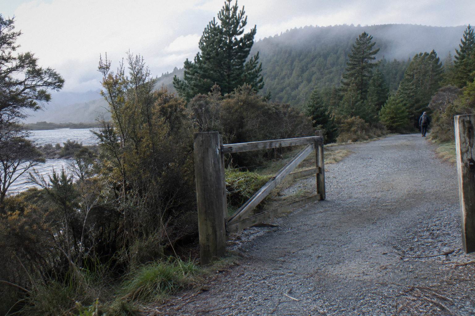
The map pins beyond the start points are adjacent places, not stops on any trip listed here. Tarawera Landing and Hot Water Beach sit on Lake Tarawera; DOC notes that localised patches of sand at Hot Water Beach are very hot. The Buried Village of Te Wairoa at 1180 Tarawera Road is a village site, not the mountain, and its hours are specific: 10am to 4pm Wednesday to Sunday, last entry 3.45pm, closed Monday, Tuesday and Christmas Day. Waimangu Volcanic Valley at 587 Waimangu Road is a geothermal system formed by the 10 June 1886 eruption; no price is printed here.
Lake Rotomahana sits in the same volcanic landscape the flights cross on the way to the summit. It is a 15 km DOC advanced tramping track running from the Te Wairoa car park along the lake edge to the Hot Water Beach campsite, and it is not a route up Mt Tarawera. DOC suggests the water taxi or an overnight at the campsite rather than walking both directions in a day, and dogs, bikes and vehicles are not permitted on it.
None of these places gets you onto the summit ridge. For that, every trip on this page goes with a guide or a pilot, because the mountain itself is private land governed by the Ruawahia 2B Trust, with Ngati Rangitihi holding kaitiakitanga.
| Fact | What The Source Says | Source |
|---|---|---|
| When | The night of 10 June 1886 | GNS Science |
| Scale | New Zealand's largest eruption in the last 500 years | GNS Science |
| People | More than 100 people were killed in villages near the mountain | GNS Science |
| Terraces | The Pink and White Terraces were destroyed | GNS Science |
| Sound and ash | The eruption was heard as far as Blenheim, and ash reached Christchurch | GNS Science |
| The mountain | Three domes: Ruawahia (the highest, 1,111 m), Tarawera and Wahanga | GNS Science |
On the night of 10 June 1886, Mt Tarawera erupted, and GNS Science calls it New Zealand's largest eruption during the last 500 years. More than 100 people were killed in villages near the mountain. The Pink and White Terraces, the famed silica formations on the slopes below, were destroyed. The sound was heard as far away as Blenheim, and ash fell as far south as Christchurch.
The mountain that erupted that night is the one visitors walk or fly over today. GNS describes Tarawera as one of the dome volcanoes of the Okataina Volcanic Centre, east of Rotorua. It has three domes: Ruawahia, Tarawera and Wahanga. Ruawahia is the highest, at 1,111 m, and it is the dome the guided summit walk reaches.
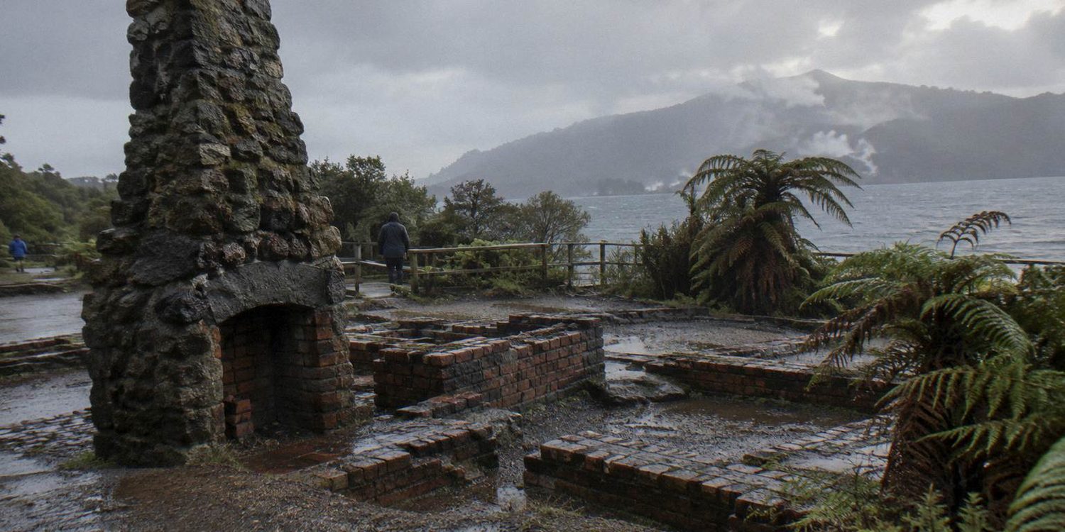
The 1886 event reshaped the wider landscape, and its traces sit all around the trips listed on this page. The crater the half-day walk looks into, the scoria underfoot, the geothermal valley the eruption created to the south west: all of it traces back to that one night. Reports of the eruption's start time and the length of the rift it opened differ between sources, so this page prints neither, and the death toll is recorded here only as GNS states it: more than 100 people were killed in villages near the mountain.
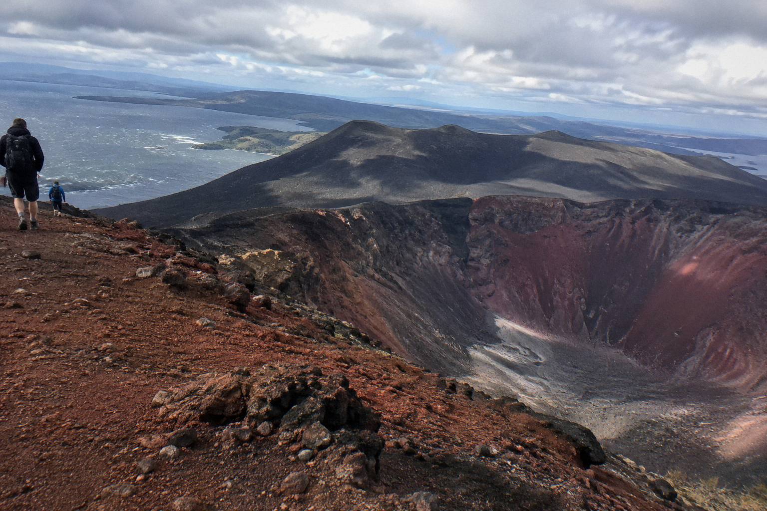
Every option on this page puts you on or over the same mountain that erupted on 10 June 1886. The walkers stand on Ruawahia's summit scoria and look into the crater. The helicopter passengers land beside them for a short guided walk. The floatplane crosses above. The pilot and the guide are working on and around a volcano with a documented history, not a generic hill.
The eruption's afterlife is visible nearby. Waimangu Volcanic Valley, south west of the mountain, describes itself as a geothermal system formed as the result of the 1886 eruption. The Buried Village of Te Wairoa, on Tarawera Road, is the village site from that same event. Both are adjacent places, not the mountain itself, and neither is bookable through this page.
Tarawera sits inside the Okataina Volcanic Centre, and GeoNet publishes a current volcanic alert level for it. That level can change at any time, so this page prints none of them. Landings and flights can be affected by volcanic activity as well as weather, and any landing is at the pilot's sole discretion. On foot, the surface is volcanic scoria, which Kaitiaki states can be slippery, and the summit track includes steep scree.
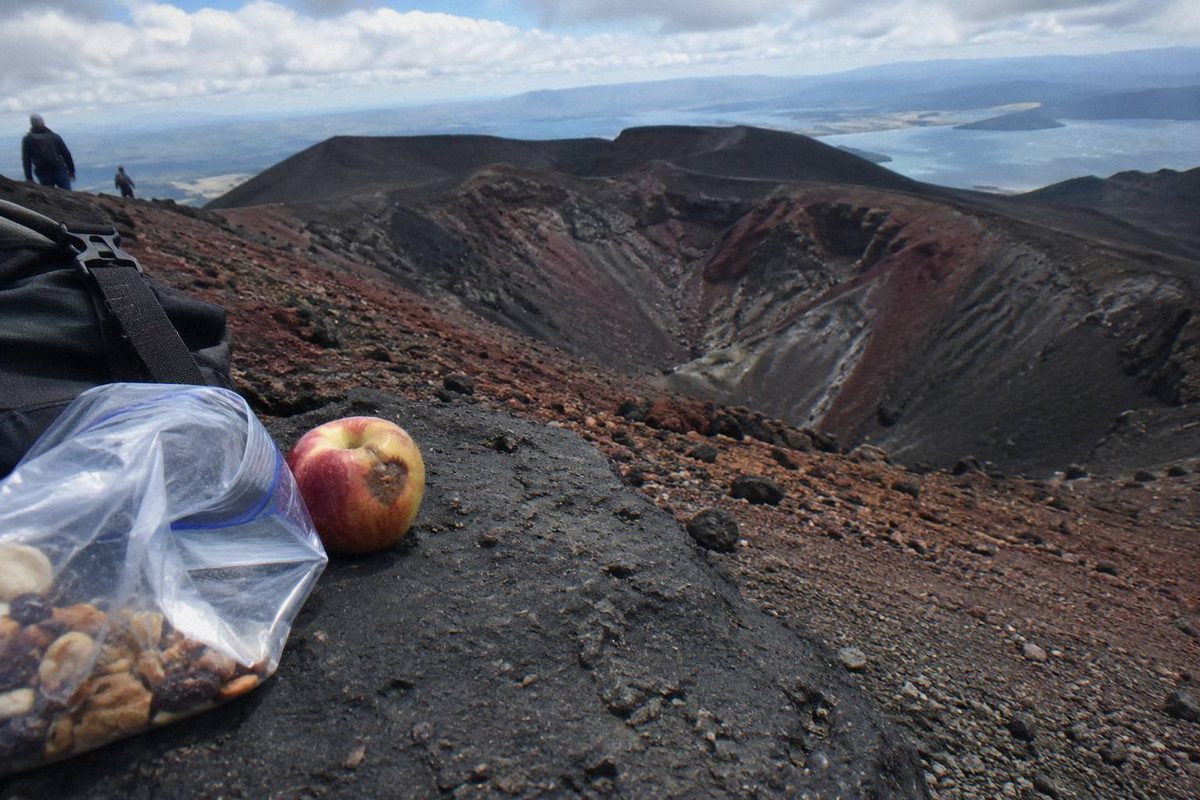
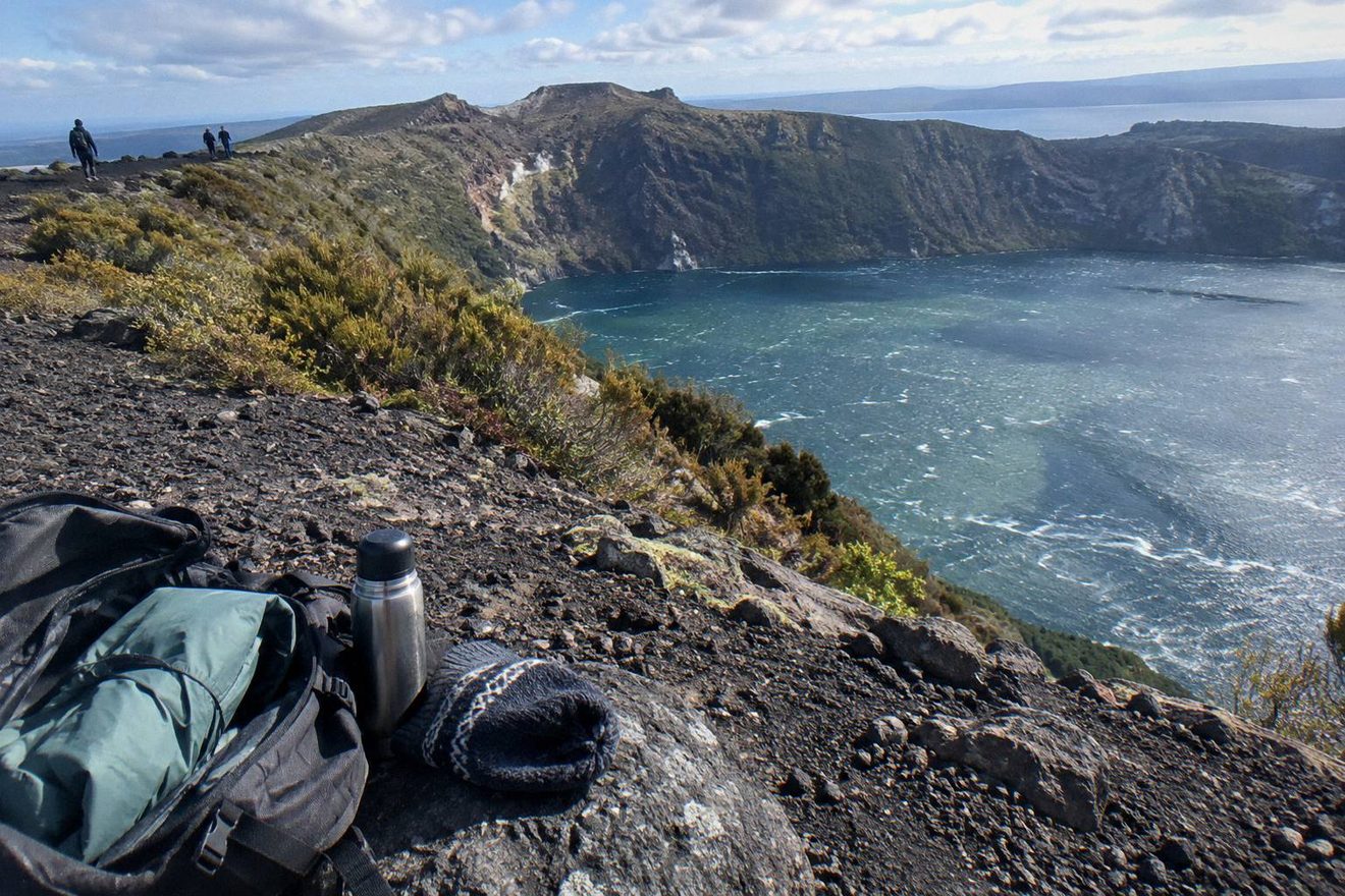
Kaitiaki's FAQ describes exactly what your feet will meet on Tarawera: volcanic scoria that can be slippery, two sections of about 50 m that need four points of contact, and a scree run the operator calls a 45 degree slope approximately 400 m deep. Sturdy walking shoes are the answer, though sturdy trainers are fine. Grip matters more than fashion. Comfortable clothing for the day's weather is the baseline, with layers for the summit, because the top at 1,111 m is colder and windier than Rotorua town below. Gloves earn their place on a windy summit day.
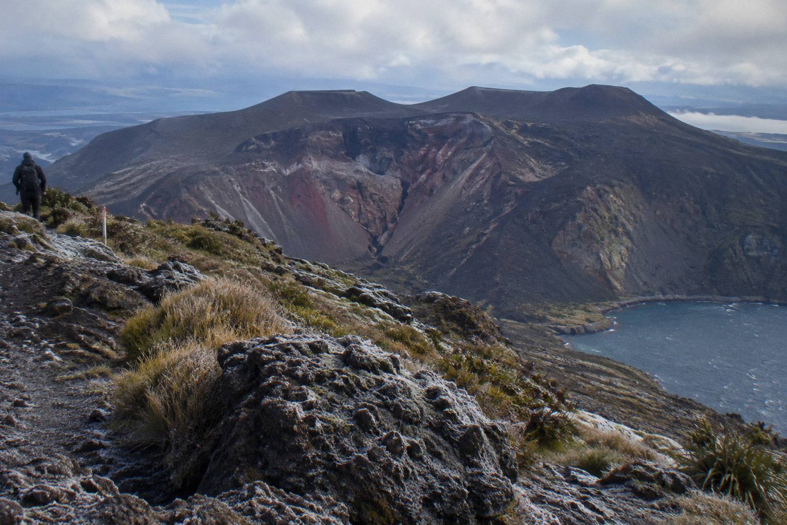
Carry a bottle of water and your own snacks. Kaitiaki states plainly that it does not provide snacks on the walk, so whatever you want to eat at the crater rim goes in your own pack. Walking sticks are handed out at the base camp stop partway up the 4WD track, which saves you bringing poles from home.
One more practical note from the operator: the roughly 8.2 km 4WD stretch is bumpy, so if you suffer motion sickness, tell the guide beforehand.
Flight days run on weight limits and pilot judgment. The 40-minute helicopter takes passengers up to 135 kg, the one-hour helicopter up to 110 kg, the dual landing up to 130 kg, and the floatplane up to 135 kg. Anyone over 110 kg may be assigned specific seating. Flights over Tarawera depend on conditions, so keep your schedule flexible.
Motion sickness applies in the air too, so tell the pilot before boarding rather than after. Excursion landings are undertaken at the pilot's sole discretion: a landing is part of the plan, never a guarantee.
The month chart above shows Rotorua town climate normals from 1991 to 2020, recorded at about 280 m elevation. The summit of Tarawera stands at 1,111 m, and the summit is colder and windier than the town in every month. No summit temperature appears on this page because none is published in the sources used here; treat the chart as the floor, not the forecast.
Within the town record, the mean daily maximum runs from 12.0 °C in July to 23.1 °C in February, with mean daily minimums as low as 3.7 °C in midwinter. November is the driest month on average at 86.8 mm of rain, and July is the wettest at 137.4 mm. Across a typical year the town records about 118.6 rain days and 1,355.6 mm of rainfall in total.
Daily minimum to maximum, degrees CRainfall, millimetres
Those averages describe decades, not your booking date. A wetter-than-average month can deliver a perfect clear morning, and a dry month can still hand you cloud on the crater rim. No month is recommended here and no view is promised, on foot or from the air. The numbers simply set expectations: winter days are cooler and damper on average, summer warmer, and the summit takes whatever the town has and makes it harsher.
The helicopter options are the most weather-sensitive trips on this page. Volcanic Air states that tour duration, flight times and inclusions may vary due to weather conditions, volcanic activity and passenger loadings, and that excursion landings are at the pilot's sole discretion. In plain terms, the summit landing part of a 40-minute or one-hour flight can be cut if conditions demand it. The floatplane is a flyover with no landing, which removes that single point of decision but still depends on flyable weather.
On foot, the variables are different. The walk crosses volcanic scoria, which Kaitiaki states can be slippery, and rain changes how that surface behaves. Wind at 1,111 m is the other constant to plan clothing around, whatever the town below is doing.
The town normals in the chart can tell you what a February or a July usually feels like in Rotorua, but they cannot tell you whether your specific morning is clear enough for a landing. For that, the day itself decides, and the pilot or guide makes the call. The listing carries the cancellation window for each trip, including 24 hours free cancellation on the Kaitiaki listing.
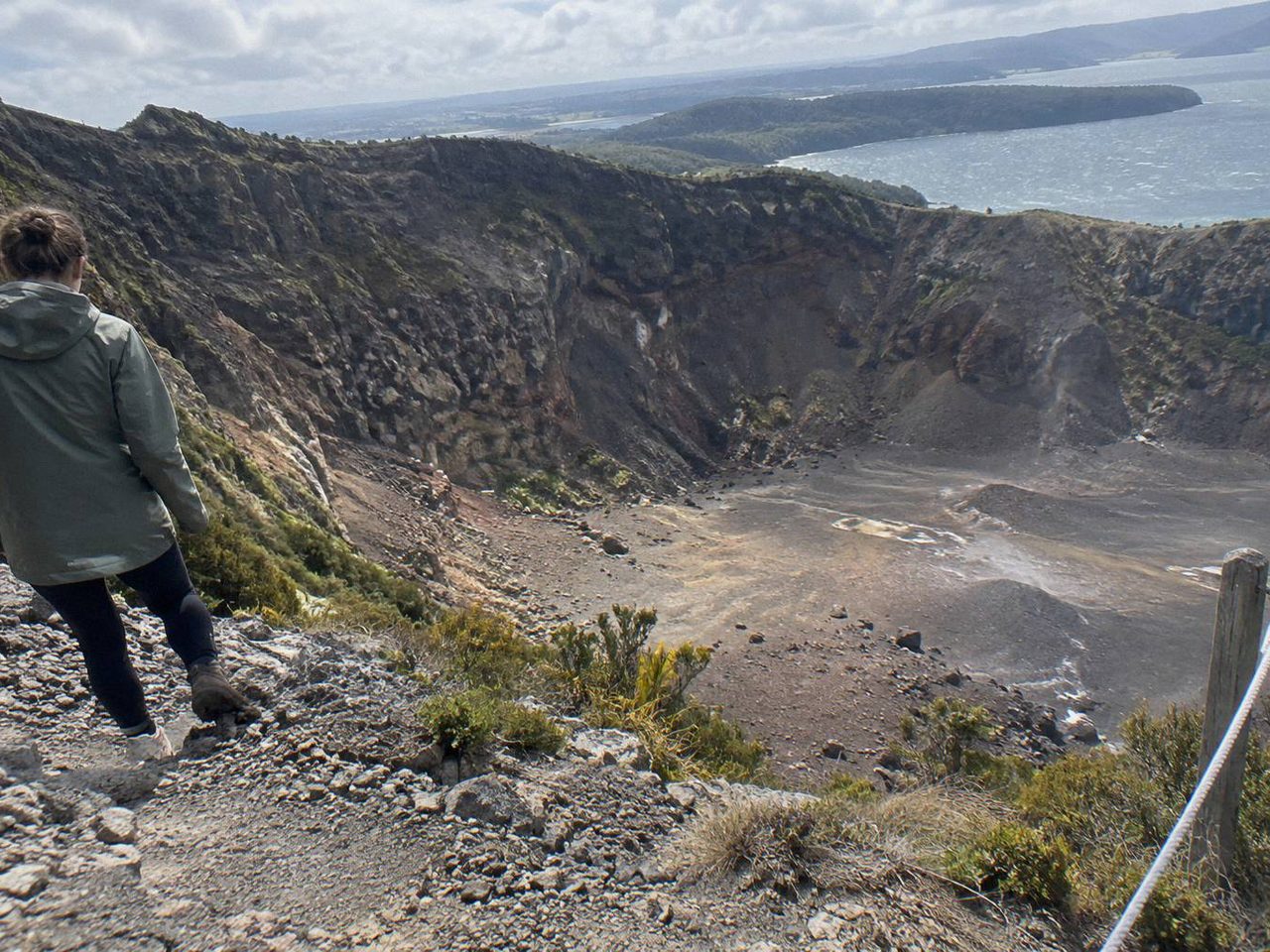
The mountain itself sets the age and fitness bar. Kaitiaki rates its summit track as medium to moderate, with lighter walking options for guests who want less, but the real test is the two hands-on sections of about 50 m needing four points of contact and the scree the operator describes as a 45 degree slope approximately 400 m deep. Against that, the walking products take children from age 7, the Kaituna rafting combo from 13, and the flights cap weight by aircraft: 135 kg on the 40-minute helicopter, 110 kg on the one-hour flight, 130 kg on the dual landing and 135 kg on the floatplane.
The ages table above settles the two questions that most often block a booking: how old, and how fit. The Kaitiaki Adventures half day and full day both take walkers from age 7, as the operator states it. The Kaituna rafting and summit walk combo is a different proposition, running about 9 hours with two activities, and it sets the minimum age at 13. No other age floor is printed on this page for the walking options.
Guests who want less can take lighter walking options instead of the summit push, so a booking is not a commitment to the top.
The not-suitable lists come straight from the operators. The walks are not wheelchair accessible and are flagged against low fitness and back or heart problems. The dual landing excludes pregnant travellers and people with mobility impairments or a fear of heights. Read those rows against your own group before choosing, because the operator will apply them at check-in.
Age on the mountain splits by product, and weight splits by aircraft. Kaitiaki's summit track is rated medium to moderate, with lighter walking options for those who want less, but the two hands-on sections of about 50 m and the scree, described by the operator as a 45 degree slope approximately 400 m deep, are the real fitness test. Walkers join from age 7, the Kaituna combo from 13. In the air, the 40-minute helicopter takes passengers up to 135 kg, the one-hour helicopter caps at 110 kg, the dual landing to Mt Tarawera and Orakei Korako allows up to 130 kg, and the floatplane flyover up to 135 kg.
Children's fares follow Volcanic Air's own structure: under 2s fly free, and children aged 2 to 11 pay 75% of the adult fare. The helicopter listings also set a minimum of 2 adult fares before a flight departs, and infants sit on laps on some listings. None of the flight products is wheelchair accessible.
Before booking, weigh with clothes on, add for camera bags, and check every passenger in your party against the limit for that specific trip, not the highest figure on the page. If anyone in the group sits near a boundary, contact the operator through the booking page before paying. The limits are the operator's rules, applied on the day.
| Trip | From-Price Per Person | Listing Rating |
|---|---|---|
| Half-Day 4WD Crater Walk | Price at booking | 4.9 from 359 reviews |
| Floatplane Flyover, No Landing | NZ$395 | 4.8 from 48 reviews |
| 40-Minute Helicopter Summit Landing | NZ$675 | 4.9 from 43 reviews |
| Rafting And Summit Walk Combo | Price at booking | Rating at booking |
| 1-Hour Helicopter Mountain Landing | Price at booking | Rating at booking |
| Orakei Korako Dual Landing | NZ$1,490 | Rating at booking |
Two independent listing reads shape every figure here. The Kaitiaki half-day 4WD and crater walk stands at 4.9 across 359 reviews. The 40-minute helicopter holds 4.9 across 43 reviews. The floatplane, a flyover with no landing, records 4.8 across 48 reviews. The same reads fix three from-prices: NZ$675 per person for the 40-minute helicopter summit landing, NZ$1,490 per person for the dual landing with Orakei Korako, and NZ$395 per person for the floatplane flyover. No other trip on this page prints a rating, a review count or a price.
Durations run from 30 minutes for the flyover to 9 hours for the Kaituna rafting and summit walk combo, with the half day at 4 hours 30 minutes between them. Where a number is missing here, the listing is the live source, and dynamic prices move with demand.
One check before booking any trip to the volcano: current conditions sit on GeoNet's volcano alert levels for the Okataina volcanic centre, which includes Tarawera. Read it before you pay.
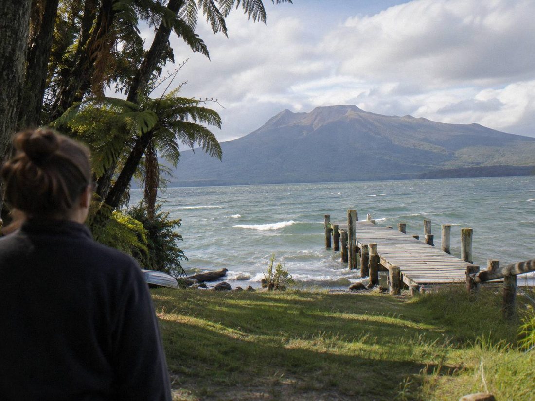
Where you sleep should follow where your trip starts. Kaitiaki's 4WD and crater walk meets at the Main Carpark on Hemo Road in Whakarewarewa, south of the centre, so walkers do best in the suburbs toward Whakarewarewa. The helicopter and floatplane options depart from Lakefront Drive on the city lakefront, so central Rotorua near the lake puts those passengers minutes from check-in. Location matters more than usual here because the trips leave from two different ends of Rotorua.
The hotel cards below cover both catchments, with tiers and areas shown against straight-line, approximate distances from the two approximate start pins. Central options cluster around Tutanekai Street, Rangiuru Street, Arawa Street and Fenton Street; closer to the walk there are options in Tryon Street, Whakarewarewa, and one at Ronald Road on Lake Tarawera itself.
One more point for walkers: Kaitiaki's listing offers free pickup from most central Rotorua accommodation, which can make the lakefront hotels work for the Hemo Road start too. Check your specific address on the booking page. No hotel is named or recommended on this page.
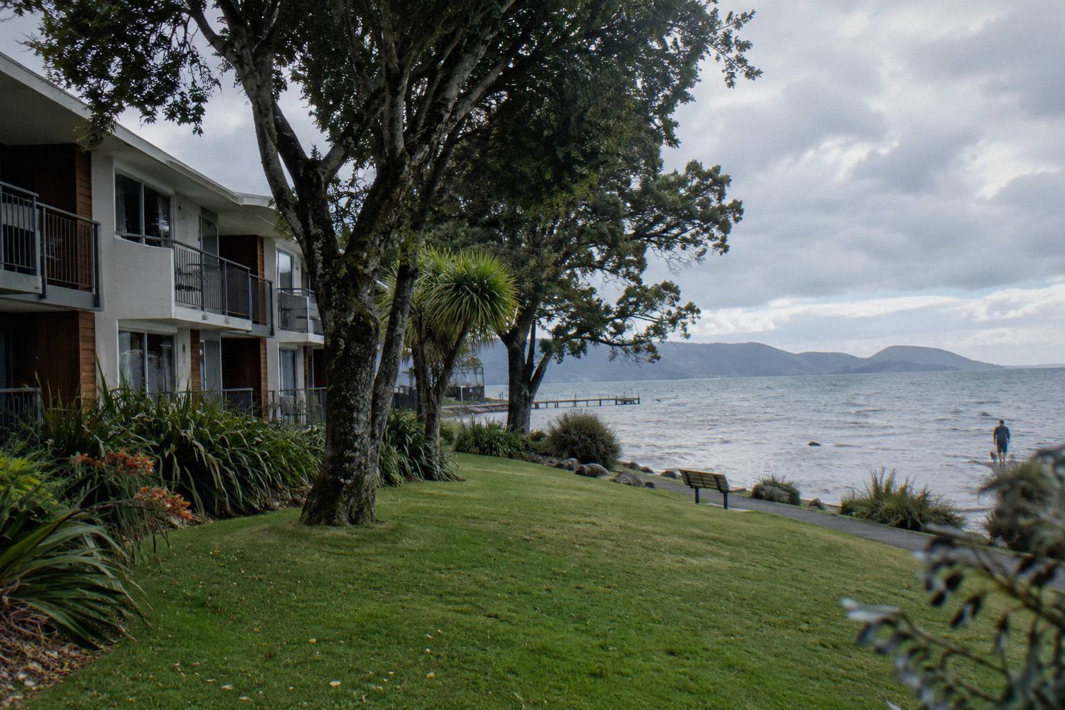
Tutanekai Street, central Rotorua
Check rates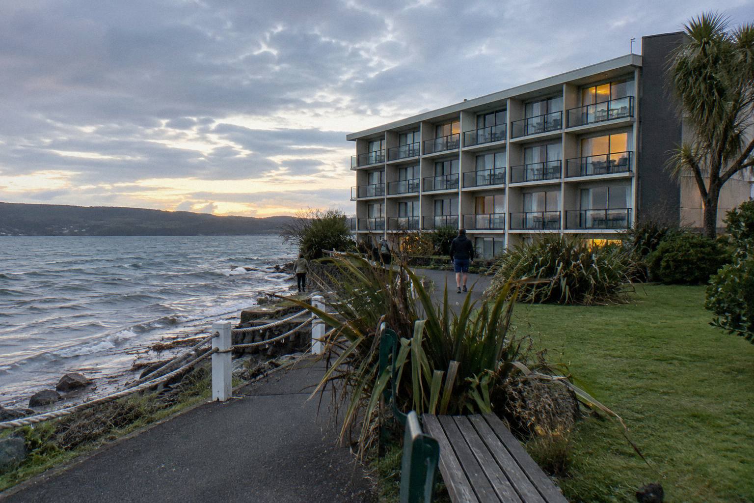
Rangiuru Street, central Rotorua
Check rates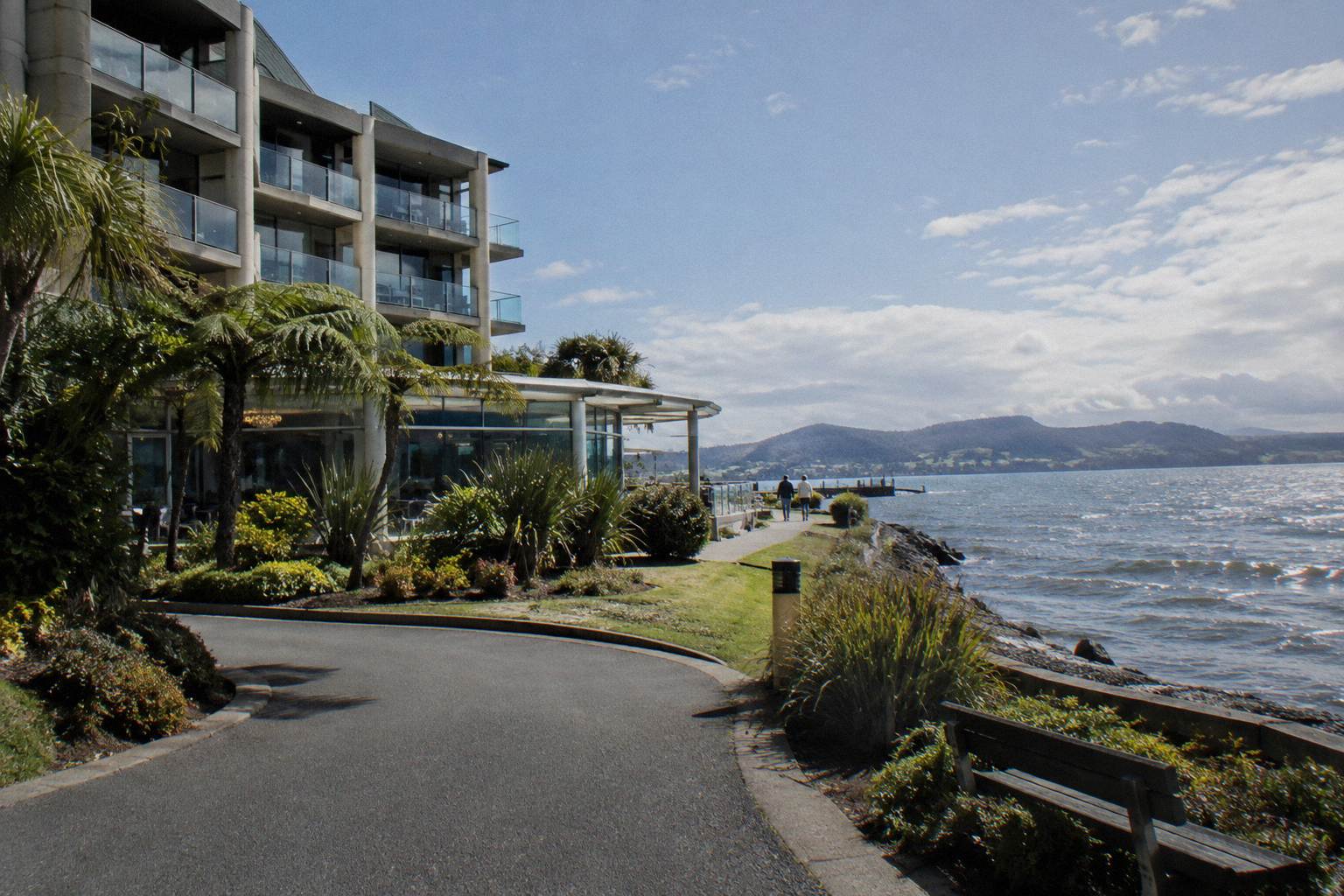
Arawa Street, central Rotorua
Check rates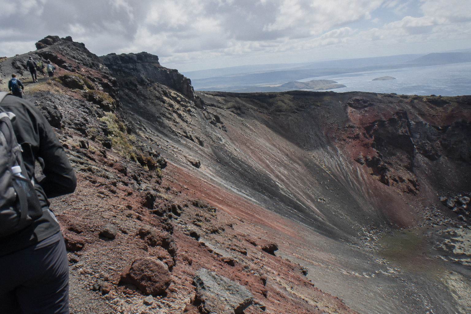
Mt Tarawera erupted on the night of 10 June 1886. GNS Science describes it as New Zealand's largest eruption in the last 500 years, and more than 100 people were killed in villages near the mountain. The eruption was heard as far as Blenheim and ash reached Christchurch. The Pink and White Terraces were destroyed. The crater landscape that today's guided walks cross is a direct product of that night.
No, and the reason is land tenure rather than a blanket ban. Mt Tarawera sits on private land governed by the Ruawahia 2B Trust, and Ngati Rangitihi hold kaitiakitanga of the mountain. Kaitiaki Adventures and Volcanic Air describe themselves as concessionaires working alongside Ngati Rangitihi, with most concession revenue reinvested in conservation, wilding pine removal first. Every trip we cover therefore goes up with a guide or a pilot.
The half-day trip, the Mt Tarawera Volcanic Crater Experience from Kaitiaki Adventures, runs 4 hours 30 minutes door to door from the Hemo Road carpark. The operator's site also lists a full-day hike at 6.5 hours that adds the Tarawera Dome and about 1.5 hours more walking. The journey in includes roughly 30 minutes of driving from Rotorua before the walk begins.
Kaitiaki Adventures rates the summit track as medium to moderate fitness. The ground is volcanic scoria and can be slippery, the summit scree is described in the operator's FAQ as a 45-degree slope approximately 400 m deep, and two sections of about 50 m each need four points of contact. Benches line the route. Guests who prefer can take lighter walking options instead of the summit track.
The Kaitiaki Adventures half day and full day both state a minimum age of 7. The Kaituna rafting and summit walk combo, a longer day of two activities, carries a minimum age of 13. No minimum age is stated for the Volcanic Air helicopter or floatplane products, though children under 2 fly free and those aged 2 to 11 pay 75% of the adult fare on the helicopter tours per the operator's page.
Sturdy trainers are fine. The Kaitiaki FAQ asks walkers to bring sturdy walking shoes and states plainly that sturdy trainers are acceptable on the volcanic scoria. Comfortable clothing suited to the weather, a bottle of water and your own snacks complete the kit, and walking sticks are handed out at base camp. Gloves are worth packing for a windy summit, since the top at 1,111 m is colder and windier than Rotorua town.
Yes, one stop. The Kaitiaki journey reaches a base camp on the 4WD track where there is a composting toilet, and this is also where walking sticks are given out before the hikoi begins. Beyond that point the road ends and the walk starts. Nothing in the operator's FAQ mentions further facilities on the mountain itself, so plan around the base camp stop.
No. Kaitiaki Adventures states that no snacks are provided, and its FAQ asks guests to bring their own plus a bottle of water. This is the one packing item the operator singles out. The page's packing checklist reflects this: sturdy shoes, weather-appropriate layers, water, your own food, gloves for wind at the summit, and a word to the guide beforehand if you suffer motion sickness on the off-road drive.
GNS Science describes Tarawera as one of the dome volcanoes of the Okataina Volcanic Centre, east of Rotorua, a centre that sits within an active caldera. We give no volcanic alert level, because the level can change at any time. For the current status of Okataina, which includes Tarawera, check GeoNet, the official source for volcanic alert levels in New Zealand.
No. Volcanic Air's own wording says tour duration, flight times and inclusions may vary due to weather conditions, volcanic activity and passenger loadings, and that excursion landings are undertaken at your own risk and at your pilot's sole discretion. The 40-minute tour normally includes a 15-minute guided walk on the summit after a flight over lakes Okareka, Okataina and Tarawera, but the landing itself is never guaranteed.
The listed limits vary by product. The 40-minute summit landing flight takes passengers up to 135 kg, with one listing noting that passengers over 110 kg may be given specific seating. The one-hour mountain landing flight lists a limit of 110 kg, and the three-hour dual landing to Mt Tarawera and Orakei Korako lists 130 kg. All Volcanic Air trips depart from the Lakefront Drive helipad and need a minimum of two adult fares.
No. The floatplane tour is a flyover, no landing, and we always describe it that way. Volcanic Air's own wording is to fly over Mt Tarawera, and the 30-minute scenic flight departs Lakefront Drive without touching the mountain. If you want to stand on the summit, the guided 4WD walk with Kaitiaki Adventures or a Volcanic Air helicopter landing, when the pilot decides conditions allow, are the options listed here.
Sturdy walking shoes, and sturdy trainers are fine per the operator. Comfortable clothing for the weather with layers for wind at the summit, because the top at 1,111 m is colder and windier than Rotorua town, where the climate figures on this page are measured. Bring a bottle of water, your own snacks since none are provided, gloves for wind, and tell the guide beforehand if you suffer motion sickness on the 4WD track.
The Kaitiaki Adventures walks meet at the Main Carpark on Hemo Road in Whakarewarewa, about 30 minutes' drive from the base of the mountain's 4WD track. The Kaituna rafting and summit walk combo picks up in central Rotorua. All Volcanic Air products, the helicopters and the floatplane, depart from Lakefront Drive on the Rotorua City Lakefront. The map on this page pins both approximate start points.
 1886 Eruption
 4WD Ride And Crater Walk
 Best Months
 Cost And Inclusions
 Crater Walk Step By Step
 Guide Or No Guide
 Guided Crater Walk
 Half Day Or Full Day
 Helicopter Landing
 Hike With Kids
 Hot Water Beach Day
 Map And Route
 Meeting Points And Pickup
 Photos And Viewpoints
 Pink And White Terraces And The Mt Tarawera Crater Walk
 Scree Run
 Summit And Ruawahia Crater
 Tarawera Kaituna Combo
 Trail Vs Crater Walk
 Waimangu And Tarawera
 Walk Difficulty And Fitness
 Walk Duration
 Walk, 4WD Or Helicopter
 Weather And Landings
 What To Wear And Bring

